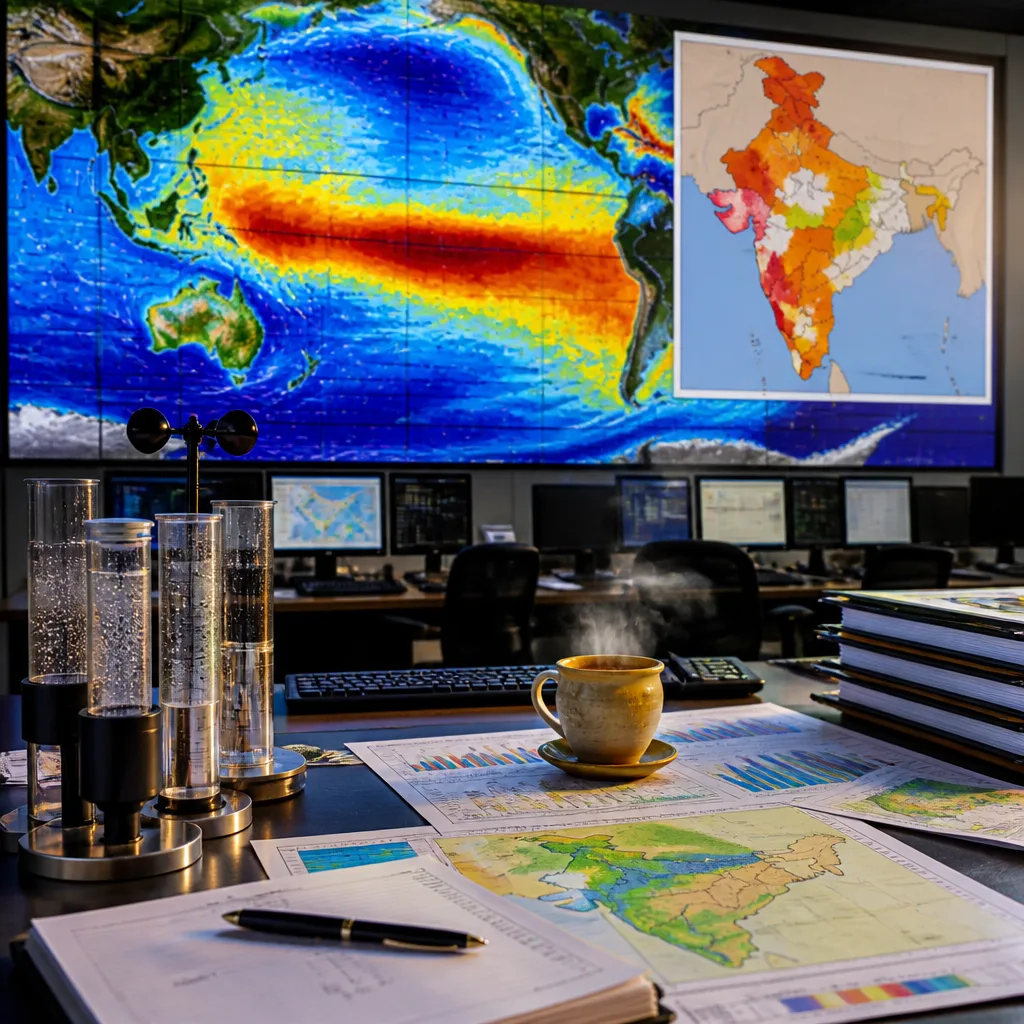
New Delhi, 1 August: The World Meteorological Organization (WMO) has warned that El Niño is likely to intensify into a strong event over the coming months, a development that could disrupt India’s southwest monsoon just as the season showed signs of partial recovery.
Global drivers and national implications
The WMO said the event is expected to strengthen during the August–October 2026 period. Coupled with exceptionally warm ocean conditions and a likely positive Indian Ocean Dipole (IOD), the evolving situation is forecast to produce above‑normal temperatures globally and to alter rainfall patterns regionally. While some areas may receive excess precipitation, others face an elevated risk of drought.
In India, the monsoon has been erratic. June concluded with a marked shortfall in rainfall, while July brought a mixed recovery driven by several active low‑pressure systems. The India Meteorological Department (IMD) has already cautioned that rainfall in August is likely to be below normal, at about 94% of the Long Period Average (LPA), raising concerns that the second half of the season could be weaker than usual.
Recent rainfall figures and forecasts
| Period | Reported/Forecast |
|---|---|
| June 2026 | 39.8% deficit (one of the driest Junes in over a century) |
| July 2026 | Marked recovery in many areas; spatially uneven |
| August 2026 (IMD forecast) | ~94% of LPA (below normal) |
The WMO’s statement follows model updates showing a continued intensification of El Niño. One publicly shared model run highlighted a prolonged strong signal through the northern hemisphere winter months.
“The brand new CanSIPS model run is in, and it has intensified its El Niño forecast yet again. It now shows a record‑breaking El Niño for six months straight, from September to February, peaking just shy of +4°C in December.”
That commentary, circulated on social media alongside the model output, underlines the growing expectation in some forecasting centres of an unusually strong event later in the year. WMO forecasters have signalled that such a configuration of El Niño and a positive IOD, together with warm ocean surfaces, can amplify disruptions to established monsoon patterns.
What this could mean for India
India’s southwest monsoon delivers the bulk of annual rainfall to large parts of the country and underpins sowing, reservoir replenishment and water availability. A sustained weakening of monsoon rain in the coming months would have implications for:
- agricultural operations, especially kharif sowing and crop yields;
- reservoir and groundwater recharge that support irrigation and drinking water supplies;
- heatwaves and temperature extremes, given the WMO note on above‑normal temperatures.
So far this season the rainfall pattern has been spatially inconsistent: while several regions recorded heavy spells in July as low‑pressure systems moved across the subcontinent, other areas remained in deficit. The IMD’s August forecast of around 94% of LPA presumes this unevenness may persist.
Authorities and outlook
The WMO warning and IMD forecasts together point to the need for close monitoring and preparedness at national and state levels. Forecast agencies will continue to issue sub‑seasonal and monthly updates as models evolve and more observations become available.
For now, forecasters emphasise that model trajectories can change and that seasonal outcomes depend on the timing and interaction of El Niño, the IOD and regional circulation features. Nonetheless, the current outlook increases the probability that the second half of India’s monsoon could be more challenging than average.
Key figures: June rainfall deficit 39.8%; IMD August forecast ~94% of LPA; WMO expects El Niño to strengthen during August–October 2026.