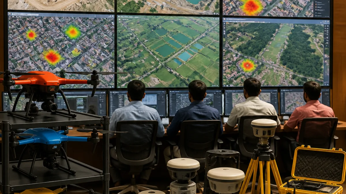
Haryana has moved to institutionalise drone technology and advanced geospatial mapping as central instruments of governance, deploying AI-enabled surveillance to identify unauthorised constructions, monitor mining operations, map civic infrastructure and locate pollution hotspots, officials said.
Policy push and administrative oversight
The Board of Directors of Drone Imaging and Information Services of Haryana Ltd (DRIISHYA) met on Monday to review progress on technology projects, where Chief Secretary Anurag Rastogi directed officials to speed up implementation so that data-driven evidence can support regulatory enforcement and public service delivery, according to an official statement.
The push seeks to integrate drones, high-resolution imagery and AI analytics into routine workflows of departments involved in urban planning, mining and municipal management. Authorities say the aim is to improve detection of illegal activity, strengthen compliance checks and enhance emergency response through better situational awareness.
Current coverage and technical capabilities
DRIISHYA officials reported that about 800 sq km of urban areas have been mapped so far. The mapped regions include districts such as Faridabad, Hisar, Karnal, Panipat and Yamunanagar, creating a growing geospatial dataset that can be used for planning, monitoring and enforcement.
Technical systems in use include Differential Global Positioning System (DGPS), a Continuously Operating Reference Station (CORS) network and RGB drones capable of centimetre-level positional accuracy, the statement added. These enable precise volumetric assessments and change detection required for diverse government applications.
- AI-powered Change Detection Application: Automatically flags new or altered structures and encroachments from high-resolution drone imagery.
- Mining supervision: Drones used for scientific monitoring of active sites and volumetric measurements of legacy waste and spoil heaps.
- Urban asset mapping: Digital mapping of municipal infrastructure such as road networks, drains and manholes to improve maintenance and emergency response.
- Pollution tracking: Identification of pollution hotspots in major drains and monitoring of environmental parameters.
Expected benefits and operational uses
Officials said the data products will support multiple government functions: quicker detection and action against unauthorised constructions; objective, replicable evidence in enforcement proceedings; scientific monitoring of mining and waste sites; and targeted interventions to tackle pollution. Digital maps of municipal assets are intended to aid day-to-day operations and disaster management.
DRIISHYA’s outputs are expected to be interoperable with other government systems, helping departments to layer drone-derived maps with cadastral records, service networks and demographic data for integrated decision-making.
Implementation challenges and scale-up
While the state has demonstrated technical capability in pilot zones, operationalising drone governance at scale presents practical challenges. These include routine data collection over large territories, integrating high-volume imagery with existing municipal systems, ensuring data security and privacy, and building in-house analytic capacity across departments.
Officials at the board meeting were reported to have tasked departments with accelerating fieldwork and institutional arrangements so that the technology moves beyond pilot projects to become a regular tool in planning and enforcement.
| Application | Reported coverage / status |
|---|---|
| Change detection for unauthorised construction | 800 sq km mapped across multiple districts |
| Mining monitoring and volumetrics | Field deployment for scientific monitoring; volumetric assessments of legacy sites |
| Municipal asset mapping | Digital mapping in Gurugram and other urban areas; road networks, manholes, drains |
| Pollution hotspot tracking | Monitoring of major drains and identified pollution sources |
Data accuracy and repeatability have been emphasised through the use of DGPS and CORS, which officials said are necessary to ensure measurements are legally defensible when used in regulatory actions.
Next steps
Following the board meeting, the chief secretary is reported to have directed an acceleration of data collection, analytic tool deployment and inter-departmental use of the geospatial products. Officials will also need to set protocols for data sharing, privacy safeguards and maintenance of the drone fleet and ground infrastructure.
If expanded systematically, the state’s drone programme could alter how municipal services are managed, how environmental regulation is enforced and how development monitoring is conducted, offering a model other states may observe in coming years.
Sunita Chaudhary, Correspondent