CHANDIGARH: The Commission for Air Quality Management (CAQM) has asked the governments of Punjab and Haryana to begin preparations to procure drones that can detect stubble burning in real time, officials said, as authorities gear up for the winter harvest season when farm fires typically spike.
Pilot project prompted move
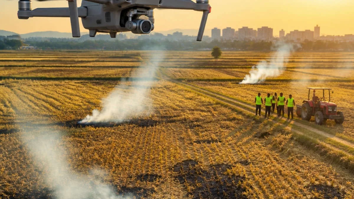
The CAQM carried out a pilot drone operation in Patiala district in May that reportedly delivered clear aerial visuals and helped identify the exact locations of farm fires, a government officer privy to the development said. Following the pilot, officials in both states have been directed in meetings since May to start planning purchases and operational arrangements for drones to be used at fire hotspots.
"During the pilot project, the use of drones provided clear visuals from a considerable height, enabling authorities to take real-time action against those burning crop residue," an officer said.
Operational questions remain
Although the move is seen as a step towards faster detection and enforcement, several operational details are yet to be finalised. Sources said a detailed standard operating procedure (SOP) for drone deployment is being drafted and will be issued soon. Decisions pending include the number of drones required per village or district, their technical specifications, who will operate them and how deployment will be coordinated between state and local agencies.
Why drones?
Officials emphasised the need for near-instantaneous monitoring because current satellite-based alerts typically reach authorities with a lag. Satellite overpasses capture imagery only a couple of times a day, and by the time satellite alerts are processed and relayed, the burning in many cases has already concluded. Drones, by contrast, can provide live visuals enabling ground teams to act immediately and potentially stop fires while they are still ongoing.
- CAQM tested drones in Patiala in May; visuals were described as clear and accurate.
- Drones are intended initially for identified farm-fire hotspots, with possible phased expansion.
- A formal SOP and technical deployment plan are expected to be issued soon.
Use limited to hotspots for now
Sources indicated that the current plan is to restrict drone use to known farm-fire hotspots and expand coverage only if required. That approach is likely to shape procurement numbers and deployment strategy, as authorities weigh costs against anticipated benefits in targeted areas.
| Capability | Satellite Data | Drones (proposed) |
|---|---|---|
| Update frequency | Typically twice a day | Near real-time |
| Visual clarity at site | Variable; depends on overpass and cloud cover | High-resolution close-up imagery |
| Action window for ground teams | Often expired when alert arrives | Immediate response possible |
Enforcement and coordination
Officials said the deployment will strengthen the ability of enforcement teams to take prompt action against individuals or groups burning crop residue. However, they also noted that successful use of drones will require clear lines of command, privacy and aviation clearances, trained operators, and maintenance arrangements. The CAQM and state agencies must iron out these logistical and legal issues before large-scale deployment.
Context and expectations
Farm stubble burning in Punjab and Haryana has long been identified as a major contributor to seasonal air pollution in north India. The CAQM’s call for drone procurement comes ahead of a period when residue burning typically rises. Authorities are hoping that real-time detection will reduce the incidence of fires by enabling swift intervention and strengthening enforcement of the ban on burning crop residue.
As the states move from pilot testing to potential procurement, officials said details including the number of drones, deployment responsibility and tech specifications will determine how quickly and effectively the programme is rolled out.