
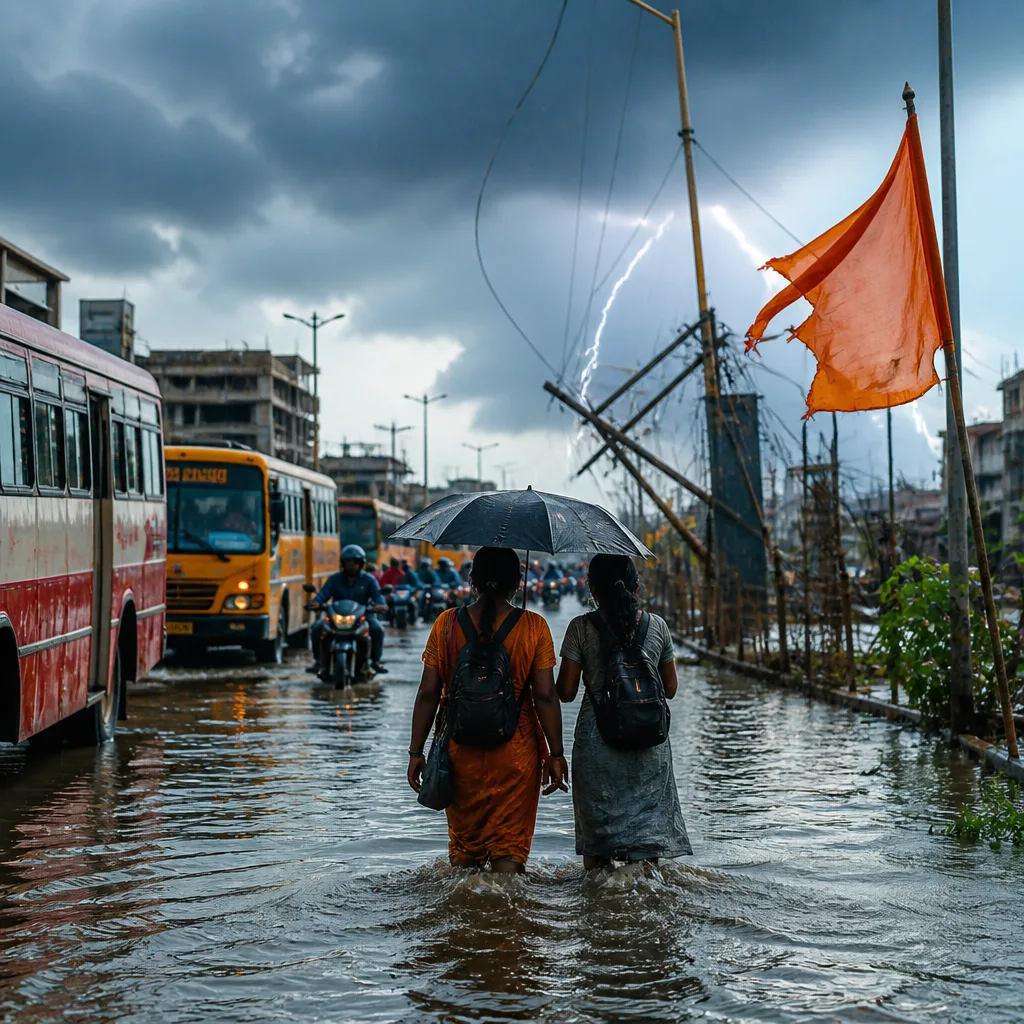
India Meteorological Department (IMD) on Monday issued an orange alert for heavy to very heavy rainfall over parts of Arunachal Pradesh, Bihar, Sub‑Himalayan West Bengal and Sikkim for the day. The weather office also forecast heavy rain over several other States tomorrow and warned of associated thunderstorms, lightning and strong gusty winds in coastal and interior areas.
Summary of warnings and areas affected
The IMD said similar weather conditions are expected to persist in the coming 24–48 hours across a wide swathe of the country. Areas explicitly flagged for heavy precipitation through today and the next two days include the Andaman and Nicobar Islands, Assam, Meghalaya, Nagaland, Manipur and Mizoram, as well as Chhattisgarh, Coastal Karnataka, Jharkhand, Kerala (including Mahe), Konkan, Goa and Madhya Maharashtra.
- Orange alert (heavy to very heavy rain): Arunachal Pradesh, Bihar, Sub‑Himalayan West Bengal & Sikkim (today).
- Forecast for tomorrow: Heavy rainfall over Haryana, Chandigarh, Punjab, Himachal Pradesh, Uttarakhand and Uttar Pradesh.
- Thunderstorms and gusty winds: Coastal Andhra Pradesh, Kerala, Mahe, Lakshadweep, North Interior Karnataka, Tamil Nadu, Puducherry, Karaikal and Andaman & Nicobar Islands (till tomorrow).
- Light to moderate showers: Parts of the National Capital Region (today).
Impacts and recommended precautions
The orange alert signifies a heightened risk of significant rainfall events that can lead to localised flooding, inundation of low‑lying areas, disruption of road and rail networks and possible damage to weak infrastructure. The forecast of thunderstorms and lightning raises the risk of power outages, fallen trees and isolated damage to property.
Residents and local authorities in the flagged districts are advised to stay updated with local official advisories, avoid moving through flooded or waterlogged areas and refrain from taking shelter under isolated trees during thunderstorms. Fishermen and those venturing into the sea or large water bodies should remain cautious, particularly where coastal warnings are in force.
| Timeframe | Regions highlighted | Main hazards |
|---|---|---|
| Today | Arunachal Pradesh, Bihar, Sub‑Himalayan West Bengal & Sikkim | Heavy to very heavy rain |
| Tomorrow | Haryana, Chandigarh, Punjab, Himachal Pradesh, Uttarakhand, Uttar Pradesh | Heavy rain at isolated places |
| Next 48 hours | Andaman & Nicobar, northeast states, parts of Konkan, Kerala, Karnataka, Maharashtra, Jharkhand, Chhattisgarh | Heavy rainfall; thunderstorms; gusty winds |
Transport and civic agencies should ready drainage and emergency response mechanisms. Power utilities are advised to be prepared for outages and to prioritise restoration in vulnerable districts. Authorities responsible for dams and reservoirs should monitor inflows and ensure timely public communication if water releases become necessary.
Watch and response
The IMD alert indicates a need for vigilance rather than immediate widespread evacuation, but local administrations may consider targeted measures in flood‑prone areas. Urban civic bodies should clear drains and ensure that stormwater channels are unobstructed to reduce urban flooding risks.
For residents: keep communication devices charged, avoid travel during intense rain or thunderstorm activity, and follow instructions from district disaster management authorities and the state meteorological department for local advisories.
Weather outlook: The larger monsoon circulation and embedded low pressure zones are contributing to active spells over the country. Further updates will be released by IMD as the situation evolves.