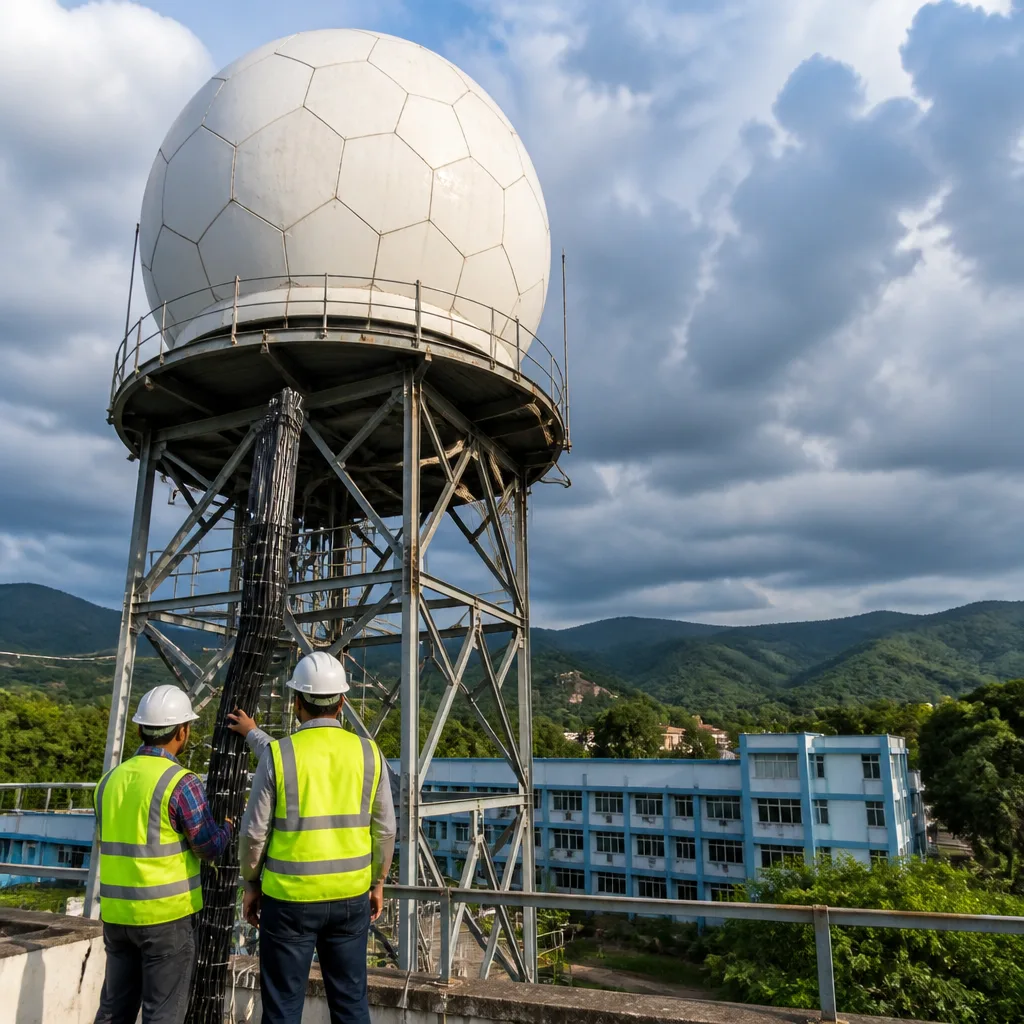
The India Meteorological Department (IMD), under the Ministry of Earth Sciences, will commission a new X‑Band Doppler Weather Radar (DWR) at Pulpally in Kerala's Wayanad district by the end of December 2026, an official statement said on Thursday. The installation, sited at Pazhassi Raja College, Pulpally, is in its final phase of equipment installation and infrastructure development.
Purpose and coverage
The radar is intended to enhance high‑resolution surveillance of rapidly evolving atmospheric conditions over the hilly terrains of Wayanad and neighbouring districts. Officials said the X‑Band DWR will provide continuous, near real‑time data to help monitor the formation, intensity and movement of severe weather systems — notably intense rainfall, thunderstorms and cloudburst‑like events — which frequently affect the region.
According to the statement, the system will deliver weather surveillance over a radius of approximately 100 kilometres, with Pulpally as the centre of its coverage area. The higher spatial and temporal resolution of an X‑Band radar is expected to improve detection of small‑scale convective cells and enhance short‑term forecasts and warnings.
Operations, testing and coordination
IMD will provide trained technical and meteorological personnel to man, operate and maintain the radar. Dedicated teams will reportedly oversee round‑the‑clock operations to ensure uninterrupted monitoring and timely dissemination of weather information to authorities and the public.
Before formal commissioning, the radar will undergo a series of technical and operational acceptance tests to verify its performance, accuracy and reliability. Subject to successful completion of these tests, the system is expected to become operational by the target date.
The project has been facilitated with the support and coordination of the Kerala State Disaster Management Authority (KSDMA), reflecting cooperation between the central and state governments in bolstering disaster preparedness and response capabilities.
- Installation site: Pazhassi Raja College, Pulpally, Wayanad
- Coverage radius: ~100 km
- Timeline: Expected commissioning by end of December 2026, pending tests
- Operation: Fully manned and maintained by IMD technical and meteorological staff
Context and expected benefits
Wayanad and adjacent districts lie in a complex topography where convective storms and intense, localised rainfall can cause flash floods, landslips and road disruptions. Conventional observation networks and satellite imagery sometimes lack the spatial or temporal granularity to detect rapidly forming small‑scale events over such terrain. The X‑Band DWR's finer resolution is therefore intended to fill critical gaps in short‑range forecasting.
Operational radar data can support several components of the disaster management cycle, including:
- Earlier detection and tracking of thunderstorms and heavy‑rain cells;
- Improved short‑range nowcasts to inform local authorities and emergency services;
- Better inputs for hydrological models that anticipate flash floods and urban inundation;
- Enhanced situational awareness for evacuation and relief planning.
| Aspect | Detail |
|---|---|
| Institution | India Meteorological Department (Ministry of Earth Sciences) |
| Location | Pazhassi Raja College, Pulpally, Wayanad |
| Technology | X‑Band Doppler Weather Radar |
| Coverage | Approximately 100 km radius |
| Operational readiness | Final stage of installation; to undergo acceptance tests |
IMD's statement did not specify the precise envisaged downstream dissemination mechanisms for the new radar's products, but noted that real‑time data will help meteorologists track severe weather systems with greater precision than conventional methods.
Local authorities and disaster management agencies are expected to incorporate the radar outputs into existing early warning protocols once the system is certified and handed over to operational teams. The emphasis on a fully manned facility underlines the department's focus on sustained surveillance rather than intermittent or experimental operation.
The Pulpally radar forms part of a broader national effort to strengthen observational networks and early warning capacities, particularly in vulnerability‑prone regions where topography amplifies the risk of flash floods, landslides and other weather‑related hazards.