Groundwater levels fall steeply in fast‑growing pockets
Visakhapatnam is facing a growing groundwater challenge as El Niño conditions and uneven monsoon rainfall combine to limit aquifer recharge, official observations for July show. While some localities recorded modest rises after local showers, several rapidly urbanising areas registered significant month‑on‑month declines, signalling stress on supplies that many households and establishments continue to rely on.
The latest data compiled for the district show that Arilova witnessed one of the sharpest drops, with the water table falling to 36.25 metres below ground level (mbgl) in July from 28.70 mbgl in June. Other localities with deep levels in July included Yendada (30.86 mbgl), Madhurawada (27.23 mbgl) and Peda Rushikonda (24.14 mbgl), areas that have seen rapid urban expansion over the past decade.
| Locality | June (mbgl) | July (mbgl) |
|---|---|---|
| Arilova | 28.70 | 36.25 |
| Aganampudi | 9.28 | 8.27 |
| Bheemunipatnam | 8.71 | 8.31 |
| Nagarampalem | 4.35 | 6.35 |
Other recorded July levels include YSR Park (16.18m), Sivajipalem (15.78m), Kanithi Colony (13.14m), Visalakshinagar (12.89m), Marikavalasa (12.13m) and Pendurthi (12.17m). In Anandapuram mandal, Sonthyam, Pandalapaka and Vellanki registered depths of 11.88m, 10.82m and 10.14m respectively.
Localised recharge, but overall inadequate recovery
District observers note a mixed picture: several pockets showed modest improvement following localised showers. Aganampudi improved to 8.27m in July from 9.28m in June, while Bheemunipatnam rose from 8.71m to 8.31m. Small gains were also recorded at Pandurangapuram, APSIDC, BHPV, Gollalapalem, Steel Plant, Devada, Narava and Palavalasa, where the shallowest levels were observed — notably Palavalasa (0.74m), Chukkavanipalem (1.5m) and Chippada (2.06m).
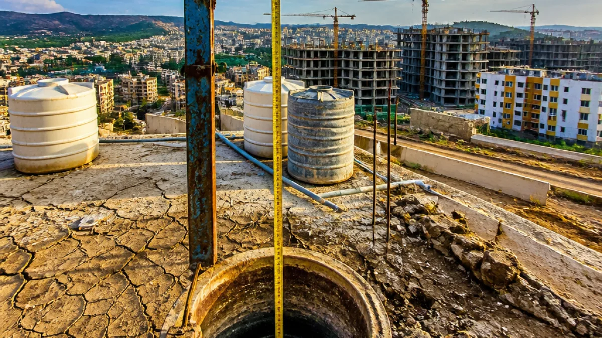
Officials emphasise that groundwater behaviour is governed by a mix of factors — geology, spatial rainfall distribution, land use change and extraction rates. Rapid urban development has increased impervious surface cover, reducing natural recharge and pushing demand for groundwater in many new residential and commercial enclaves.
- Rapid urbanisation in Arilova, Yendada, Madhurawada and Rushikonda coincides with sharp water‑table declines.
- Localised rains provided partial recharge in some pockets, but not enough to reverse broader declines.
- Variability in geology and land use leads to wide differences in observed depths across the district.
Implications for water security and planning
The data underline the fragile state of water security in Visakhapatnam district. Persistent deepening of aquifers increases the cost and difficulty of drawing groundwater, strains municipal supplies where connections are limited, and may push more residents and builders to sink deeper borewells. Over the long term, this can accelerate depletion and induce lower yields or failure of wells, particularly in areas where the water table is already tens of metres below ground.
For planners and water managers, the patterns point to the need for integrated measures: preserving and restoring recharge zones, regulating extraction in vulnerable pockets, promoting rainwater harvesting and permeable urban design, and improving monitoring to target interventions. The July observations provide a timely input for district authorities as they prepare for the remainder of the monsoon and the dry season that follows.
As the city adapts to the combined effects of El Niño and changing land use, residents and developers in fast‑growing localities will likely face growing pressure to adopt water‑conserving practices and support recharge initiatives to sustain supplies.