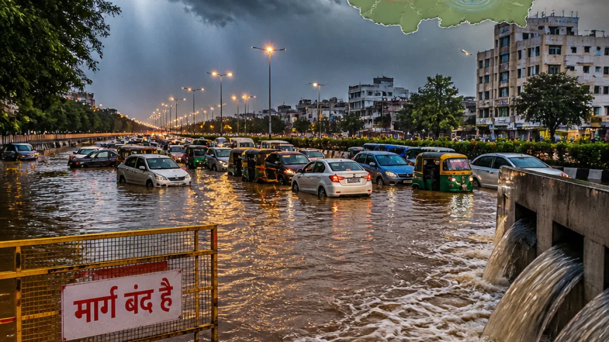
Systems driving the spell
According to the Bhopal meteorological office, the monsoon trough, a cyclonic circulation and an associated shear zone are simultaneously influencing weather over Madhya Pradesh. Their combined effect is expected to produce widespread rain and thunderstorms, with some districts likely to receive extremely heavy precipitation over a short period. The department has cautioned that some areas may record more than 4 inches of rain in 24 hours.- Duration: Active systems likely to persist until August 2, the bureau said.
- Intensity: Possibility of heavy to very heavy rainfall; isolated extremely heavy falls in some places.
- Coverage: Alerts issued for 17 districts, including Indore and Ujjain divisions.
District-wise alerts and immediate impacts
IMD Bhopal has placed five districts under an orange alert for very heavy rainfall—Dhar, Dewas, Burhanpur, Harda and Narmadapuram. A heavy-rain warning applies to Ujjain, Shajapur, Sehore, Barwani, Khargone, Khandwa, Raisen, Sagar, Betul, Chhindwara, Pandhurna and Seoni. The advisory also indicates thunder and lightning for most districts including Bhopal, Indore, Gwalior, Jabalpur, Rewa and Satna.“The present weather systems will remain active till August 2. During this period, continuous heavy rain may occur in many districts and extremely heavy rain in some places,”the weather expert Shailendra Kumar Nayak said, as reported by local news agencies.
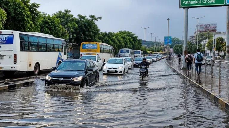
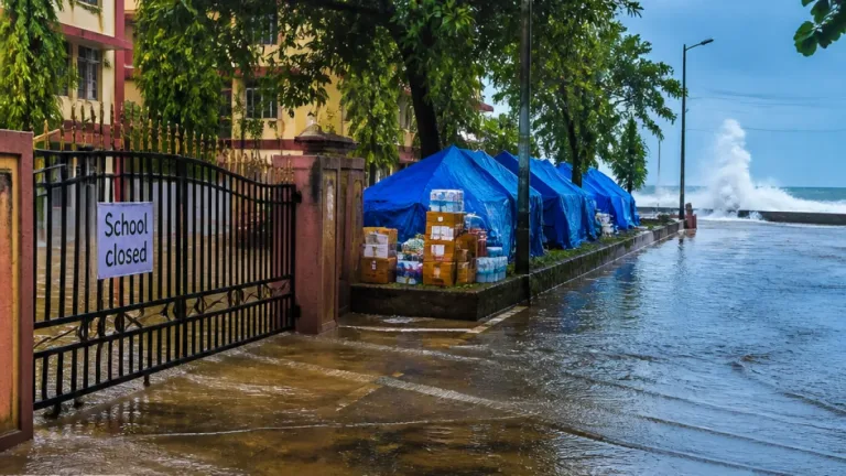
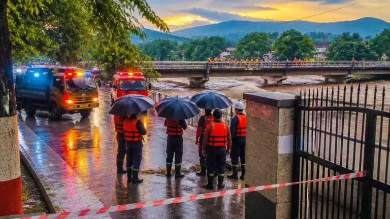
Local authorities have already reported weather-related disruptions. Roads were blocked after a tree fell on the Baihar–Paraswada route, and rivers and streams in Balaghat have begun to swell, prompting closures of several rural road links. Rain was recorded across parts of the state on Wednesday, including Ratlam, Balaghat, Pachmarhi and Bhopal.
| Alert level | Districts (selected) |
|---|---|
| Very heavy (Orange) | Dhar, Dewas, Burhanpur, Harda, Narmadapuram |
| Heavy | Ujjain, Shajapur, Sehore, Barwani, Khargone, Khandwa, Raisen, Sagar, Betul, Chhindwara, Pandhurna, Seoni |
Rainfall so far and broader context
The Meteorological Department’s data shows that Madhya Pradesh has received an average of 359.3 mm (14.1 inches) of rainfall so far this monsoon period, short of the expected 428.9 mm (16.9 inches) for this date — a deficit of about 16 percent. The shortfall is slightly higher in western parts of the state, which have recorded around 17 percent less than normal, while eastern MP is about 15 percent below expected levels. Officials noted that the ongoing spell may help reduce this deficit in some areas, depending on the distribution and intensity of rains over the next few days.For Indore residents, the immediate concerns are surface-water accumulation, traffic disruptions and possible damage to vulnerable infrastructure. Authorities have not issued evacuation orders for the city but have advised vigilance in low-lying and flood-prone localities.
Precautions advised
- Residents should avoid unnecessary travel during heavy downpours and steer clear of waterlogged roads.
- Motorists are urged to follow local traffic advisories and watch for fallen trees or debris.
- Communities in flood-prone rural areas should monitor river levels and remain prepared for emergency measures if notified by local administration.
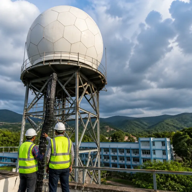
The Meteorological Department and local disaster management units will continue to monitor the situation and issue updates as the systems evolve. Citizens are advised to follow official advisories from IMD Bhopal and district administrations for real-time guidance.