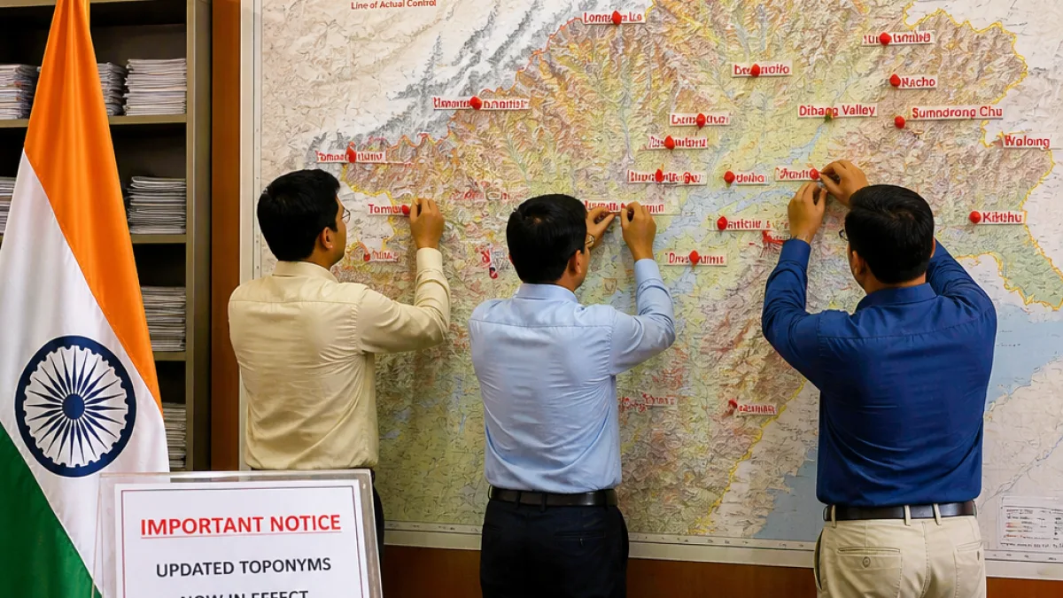
New Delhi has assigned new names to 27 places in Arunachal Pradesh and these identifications now appear on maps produced by the Survey of India, according to the supplied report on Friday. The exercise comes amid continuing tensions over the frontier with China, which has previously issued its own nomenclature for locations in the border state.
Government emphasises status of Arunachal Pradesh
Indian authorities maintain that Arunachal Pradesh is an integral part of India and have repeatedly rejected Chinese claims and parallel naming exercises. The latest update to official cartography reiterates New Delhi’s position that assigning names on Indian maps does not alter the legal status of territory but reflects administrative and geographical recognition.
Areas named include passes, villages and memorials
The list of newly identified places contains a mixture of mountain passes, villages, memorials and other toponyms. Some of the locations lie close to contested stretches of the Line of Actual Control (LAC) where historical incidents have occurred.
- Several high-altitude passes — listed as Jo La, Riza La and Thag La — are included among the newly named features.
- Villages such as Maja and Bisa appear on the updated maps.
- Other names entered include Jairampur in Changlang district and Long Xu, the latter described in the report as an area near the LAC.
Selected entries from the Survey of India update
| Place name | Feature / note |
|---|---|
| Long Xu | Area described near the Line of Actual Control |
| Maja | Village in Upper Subansiri district (as per the report) |
| Jo La, Riza La, Thag La | Mountain passes / high-altitude features |
| Jairampur | Town in Changlang district |
| Sambo Sarovar, Bara Kundan, Chota Kundan | Lakes / named features |
Broader list and local features
Other names mentioned in the supplied account include Pukur La, Bisa village, Thag La, Sam bo Sarovar, Bara Kundan, Chota Kundan, Dhan Bari, Prithnagar, Teritnagar, Ramnagar, Jaswantgarh, Sagar, Padma, Jyothinagar, Baisaki, Sher e Thappa Memorial, Chota Rupak, Bara Rupak, Shivaji Nagar, Sunpura, Kamalang Nagar, Kamalang Sanctuary and Buddha Mandir.
Context: naming and border diplomacy
Toponymy — the naming of physical features and settlements — is commonly used by states to signal authority and administrative intent. China has in the past published Chinese names for locations in Arunachal Pradesh as part of its territorial claim, while India has consistently opposed such exercises. The Survey of India updates are likely intended to consolidate official Indian nomenclature in the public record and in cartographic products distributed by the government.
Locally, updated names on official maps can affect administration, signage, disaster response planning and the recording of land and resources. For residents and district authorities, inclusion on Survey of India maps provides a reference that may be used by other government departments, emergency services and development agencies.
What this means for Arunachal communities
While the naming exercise is primarily a mapping and administrative matter, it also carries symbolic weight in a border-sensitive state. For communities located near the LAC, formal recognition of toponyms can underscore ties to state administration and may influence future planning, including infrastructure, tourism and conservation initiatives.
Authorities have previously used surveys and map revisions to improve clarity in remote areas where traditional names and spellings vary between tribal languages and administrative records. The Survey of India’s updated nomenclature will provide a standardised set of names for official use across departments.
There was no immediate reaction reported from China in the supplied account. New Delhi and state authorities have long maintained that naming or mapping measures do not change the status of disputed territory but serve to record geographic and administrative facts.
The full official list of the 27 newly identified places was published in the supplied report; district offices and local administrations in Arunachal Pradesh are expected to receive formal notifications through the usual government channels as map products are updated.
Correspondent: Reporting from the north-eastern frontier, with inputs from the supplied New Delhi report.