PORT BLAIR — India’s proposed mega-infrastructure project on Great Nicobar Island — billed to include a greenfield international airport, a township and an International Container Transhipment Terminal (ICTT) at Galathea Bay — faces a critical engineering constraint: the island is in Seismic Zone V, the nation’s highest seismic-risk category.
Project outline and strategic intent
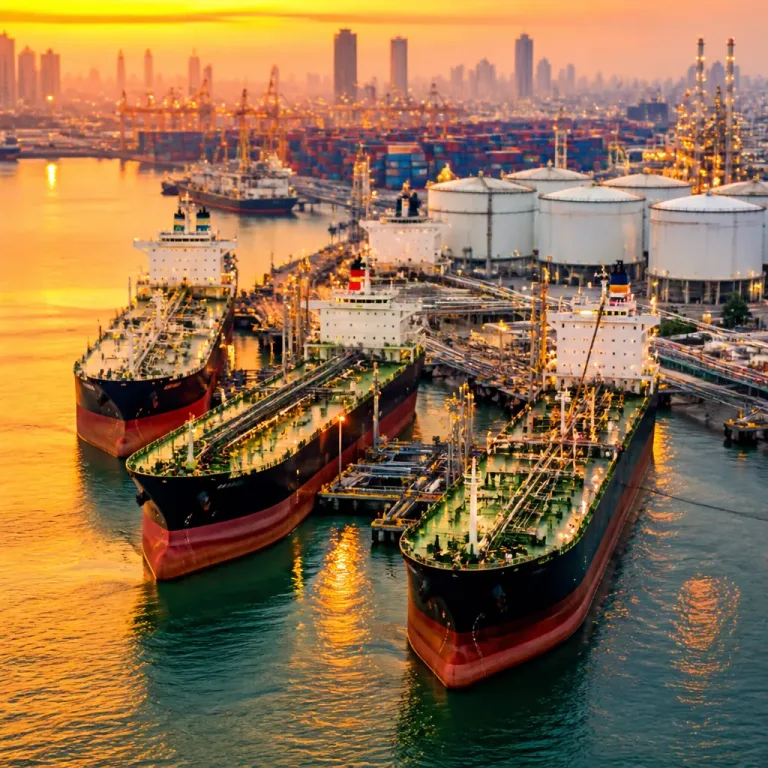
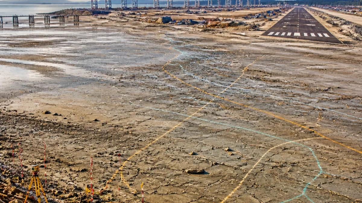
The plan, promoted by the Central government, envisages a phased development across a 16,610-hectare master plan through 2047. The ICTT is designed for 14.2 million TEU capacity while the proposed airport aims to handle 10 million passengers a year. The project cost has been stated at ₹91,000 crore, and officials indicated that heavy machinery is likely to commence on-site preparatory works ahead of full construction, with ground activity targeted to begin by 2028.
Geology and the seismic question
Great Nicobar’s strategic advantage is its location: roughly 40 nautical miles from the main East–West shipping route and with deep-water draft at Galathea Bay that could accommodate ultra-large container vessels. But that advantage is coupled with vulnerability.
A 2019 study by the Indian Institute of Technology Kanpur, cited in coverage of the plan, examined deep sediment records from Badabalu Beach in South Andaman and reported geological evidence of at least seven major tsunami events over the last 8,000 years. Using models, the study estimated that mega-earthquakes of magnitude 9.0 or higher recur roughly every 420 to 750 years in the region.
Engineering implications
The scale and type of maritime infrastructure proposed — deep-water berths, container yards and sea-level dependent terminals — are traditionally engineered for relatively stable seabed and predictable shorelines. In a high-seismicity setting, designers must account for:
- ground shaking and liquefaction potential;
- vertical and horizontal land movements during large subduction events;
- extreme tsunami inundation and scour affecting quay walls, breakwaters and backlands;
- long-term coastal subsidence or uplift that alters effective draft and access channels.
Adapting standard port and airport designs to these hazards may require novel engineering solutions, extensive geotechnical investigation and substantially higher resilience standards than conventional projects.
Timeline, scale and national objectives
Proponents of the project emphasise its potential to reduce India’s dependence on foreign transshipment hubs by creating a high-capacity terminal at a natural deep-water location close to global shipping lanes. The timeline includes phased development stretching to 2047, with preparatory works anticipated to start by 2028.
| Parameter | Value |
|---|---|
| Master-plan area | 16,610 hectares |
| Container capacity (ICTT) | 14.2 million TEU |
| Airport passenger capacity | 10 million annually |
| Estimated cost | ₹91,000 crore |
| Construction target (ground works) | By 2028 |
Local stakes and longer-term questions
For residents and administrators in the Andaman and Nicobar Islands, the project promises jobs, connectivity and a strategic economic hub. At the same time, the islands’ unique ecology, limited land resources and seismic exposure raise questions about environmental impacts, land-use trade-offs and long-term safety.
Engineers and planners will need to reconcile the national strategic objective of a major transhipment and aviation hub with the geological reality highlighted by paleoseismic records. That is likely to require enhanced site characterisation, conservative safety margins, mitigation for tsunami and earthquake hazards, and contingency planning that spans decades.
Way forward
As preparatory works approach, the focus will shift to detailed geotechnical studies, design modifications and regulatory clearances that reflect the seismic context. How these technical and planning challenges are resolved will determine whether Galathea Bay can sustain sea-level-dependent maritime infrastructure on an island with a long history of large tsunamis.
Local stakeholders and planners will be watching whether the project’s engineering response is sufficiently robust to match the strategic ambition of establishing an international container transhipment gateway at Great Nicobar.